Crawl Space Cleanup & Encapsulation Services in Monson, MA
Chicopee Brook Floodplain Crawl Space Encapsulation IICRC S520 Certified • IICRC Certified Firm • 60-Min Response
 IICRC Certified
 Eco-Friendly Solutions For Healthier Spaces
Reviewed by David Megeneishvili·Fully Insured·IICRC AMRT + WRT
What Is Crawl Space Encapsulation?
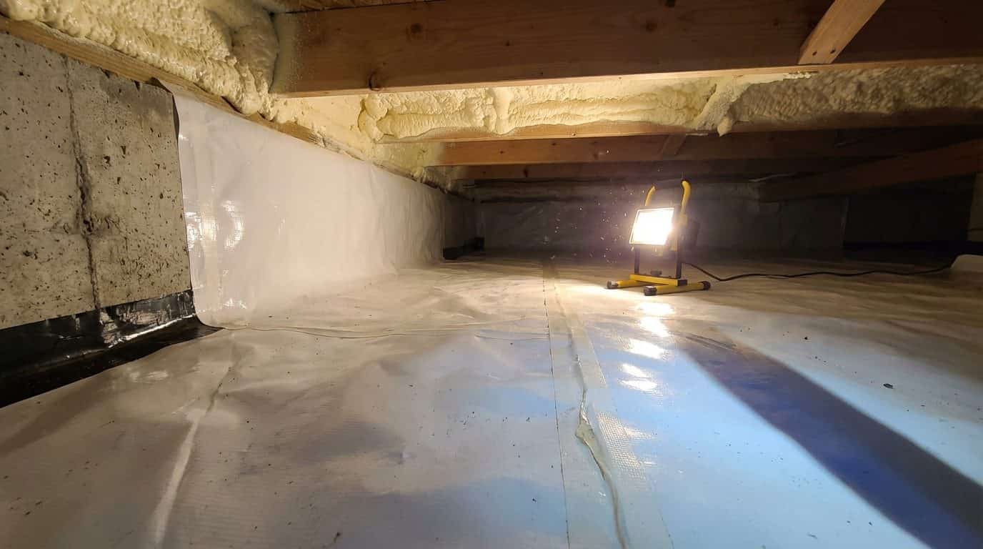
Crawl space encapsulation is the process of sealing a crawl space from ground moisture by installing a reinforced vapor barrier across the floor and up the walls, integrating a commercial dehumidifier sized to the cubic footage, and maintaining relative humidity below 55% per ASHRAE 160 guidelines.
In Monson, MA, Green Restoration runs encapsulation last. The space is first inspected with Tramex moisture meters and humidity sensors, cleaned of rodent contamination, mold, and debris, dried with HEPA-filtered negative-air machines, and only then sealed with 12-mil reinforced Class I vapor retarder per ASTM E1745 with seam taping and wall-up coverage. The result is a conditioned environment that stops moisture-driven rot, mold colonization, pest reentry, and energy loss through the floor system.
Why Monson Sits in Climate Zone 5
IECC International Energy Conservation Code
IECC Climate Zone 5A across the Pioneer Valley and most of western Massachusetts.
The Pioneer Valley sits in IECC Zone 5A with a long heating season, sustained summer humidity, and freeze-thaw loading, so the 2022 Massachusetts Energy Conservation Construction Code drives a Class I vapor retarder and conditioned encapsulated crawl spaces as the durable build.
Complete Crawl Space Cleanup & Encapsulation
Crawl space encapsulation built for Monson post-war ranch slabs along Route 32, fieldstone mill-era foundations in Monson Center, and Chicopee Brook floodplain wicking pressure across South Monson and Margaret Street properties.
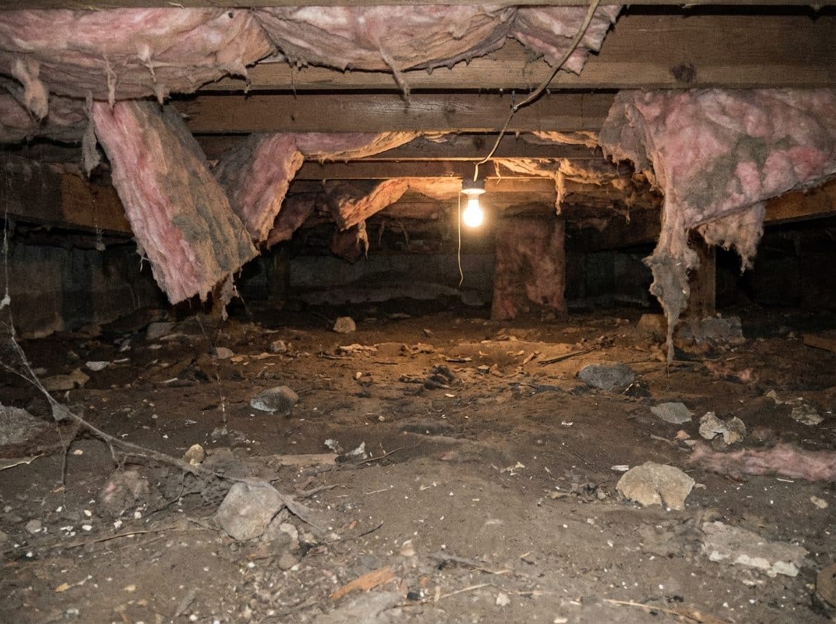
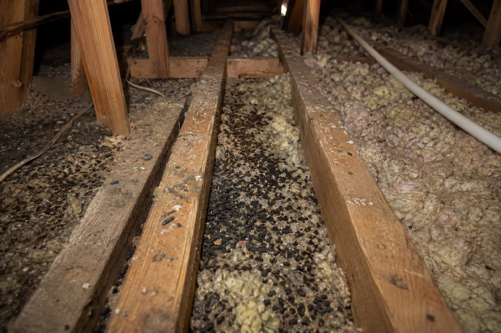
Rodent Cleanup & Contamination Removal
HEPA air scrubbing and sealed Tyvek containment remove droppings, nesting debris, and contaminated insulation. EPA-registered antimicrobial applied to all exposed framing before sign-off.
Tyvek Containment · HEPA Air Scrubbers
Full Encapsulation & Sealing
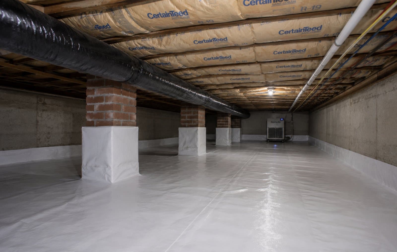
Full encapsulation seals ground moisture with a reinforced liner, wall coverage, and a commercial dehumidifier to maintain relative humidity below 55% per ASHRAE 160 moisture-control guidelines.
Class I Vapor Retarder · Below 55% RH
Insulation Removal & Replacement
Wet or contaminated insulation replaced with closed-cell spray foam at R-6.5/inch or Climate Zone 5 batts meeting IRC R-19 floor requirements. State rebate paperwork submitted with applicable programs covering up to 75% of eligible cost.
Climate Zone 5 · R-Value Verified
Additional Crawl Space Services
Inspection & Moisture Mapping
Tramex CME5 moisture meters and ASHRAE-55-referenced humidity sensors map every joist bay, sill plate, and insulation cavity. Readings above 19% wood MC trigger a written remediation scope before encapsulation.
Vapor Barrier Installation
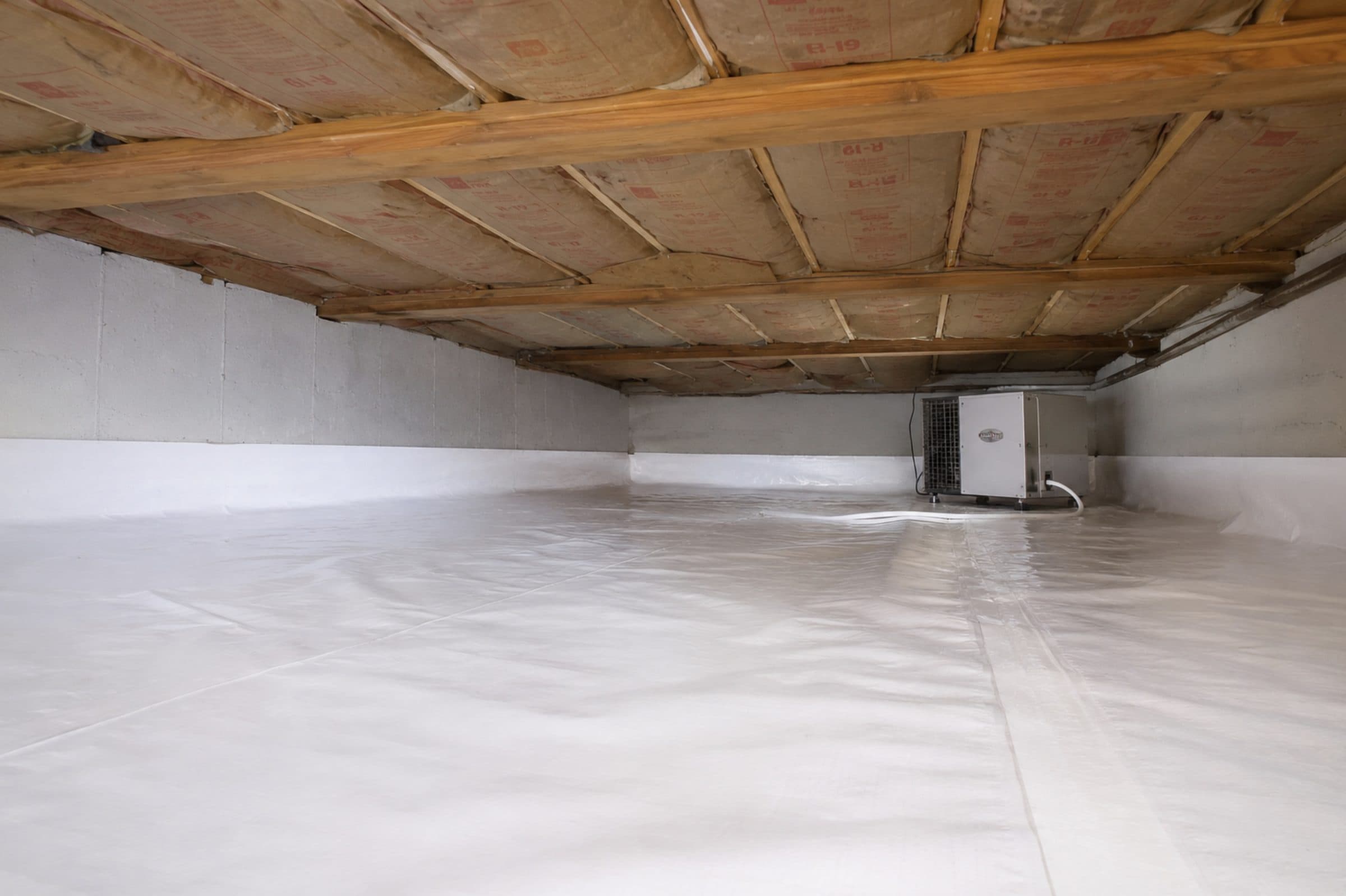
12-mil reinforced Class I vapor retarder installed per ASTM E1745, with sealed seams and full wall-up coverage. Holds ground-side vapor drive below 0.1 perm to protect framing from moisture-driven rot.
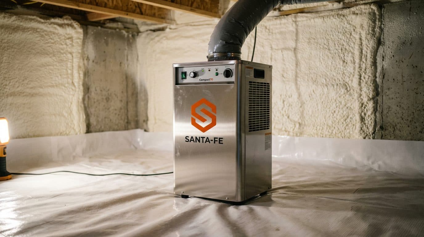
Dehumidifier Installation
Commercial-grade dehumidifiers sized to crawl space cubic footage maintain relative humidity below 55% per ASHRAE 62.2 targets. Condensate line and humidistat wired before job close, post-install RH documented.
Mold Remediation On Joists & Subfloor
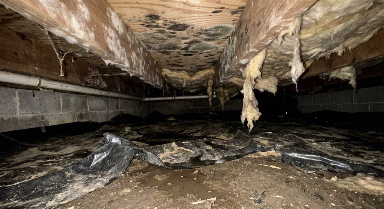
IICRC S520-protocol mold remediation on joists, subfloor, and sheathing includes physical containment, negative air with HEPA scrubbing, source removal, and post-remediation verification clearance testing.
Odor Control & Sanitization
EPA-registered antimicrobial applied to joists, subfloor, and soil after HEPA source removal. Odor neutralization targets volatile organic compounds at the source, verified by post-treatment air quality check.
Drainage & Sump Pump Integration
Interior perimeter drain channel and sump pit sized to ASCE 7 groundwater load calculations for the site. Battery backup rated for 72-hour power loss keeps the system active during storm-event intrusions.
Musty Smell, Rodents Or Moisture? Don't Wait Another Season.
Call Now For A Free Crawl Space Inspection Across Monson And Western Massachusetts.
More Green Restoration Services in Monson
The same local Green Restoration team covers all of these across Monson. One number for every emergency and every cleanup.
Why Choose Us In Monson
Monson sits in the USACE Conant Brook Dam watershed with IECC Climate Zone 5A freeze-thaw loading and 1850-1920 fieldstone foundations that wick groundwater year-round, so we engineer moisture control around the actual housing-stock and drainage profile, not generic inland-valley crawl space technique.
IICRC-Certified Encapsulation
S520-compliant sealed vapor barriers, wall sealing, and dehumidifier integration on every Monson crawl space project.
Humidity Verified Below 55%
Commercial dehumidifiers sized to cubic footage with calibrated humidity readings confirmed before signoff.
Rebate Documentation Included
Itemized scope and photo documentation for Mass Save applications across Monson properties.
Eco-Conscious Methods
HEPA containment, Tyvek protocols, and EPA-registered antimicrobials including Benefect Decon 30 and Concrobium Mold Control aligned with IICRC S520 standards.
Our Crawl Space Restoration Process In Monson, MA
From the first call to final walkthrough, every step is documented, insured, and owner-supervised.
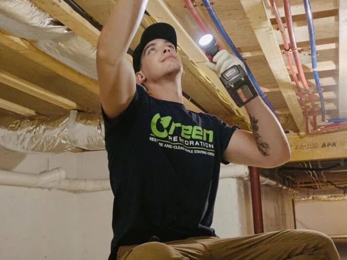
Save Thousands On Crawl Space Work With Mass Save
Massachusetts homeowners can stack Mass Save rebates on crawl space insulation, air sealing, and moisture control. We document eligible work so you can apply confidently.
Mass Save
Mass Save · Eversource, National Grid, Berkshire Gas, Cape Light Compact
Statewide utility incentive that explicitly lists crawl space and basement insulation as eligible measures after a no-cost Home Energy Assessment, covering up to 75 percent of approved insulation and air sealing, with deeper support for income-eligible households at levels the program sets. Pairs with a 0% HEAT Loan up to $25,000 for larger encapsulation scopes.
- Up to 75% off approved insulation
- Crawl space and basement listed
- No-cost Home Energy Assessment
- 0% HEAT Loan up to $25,000
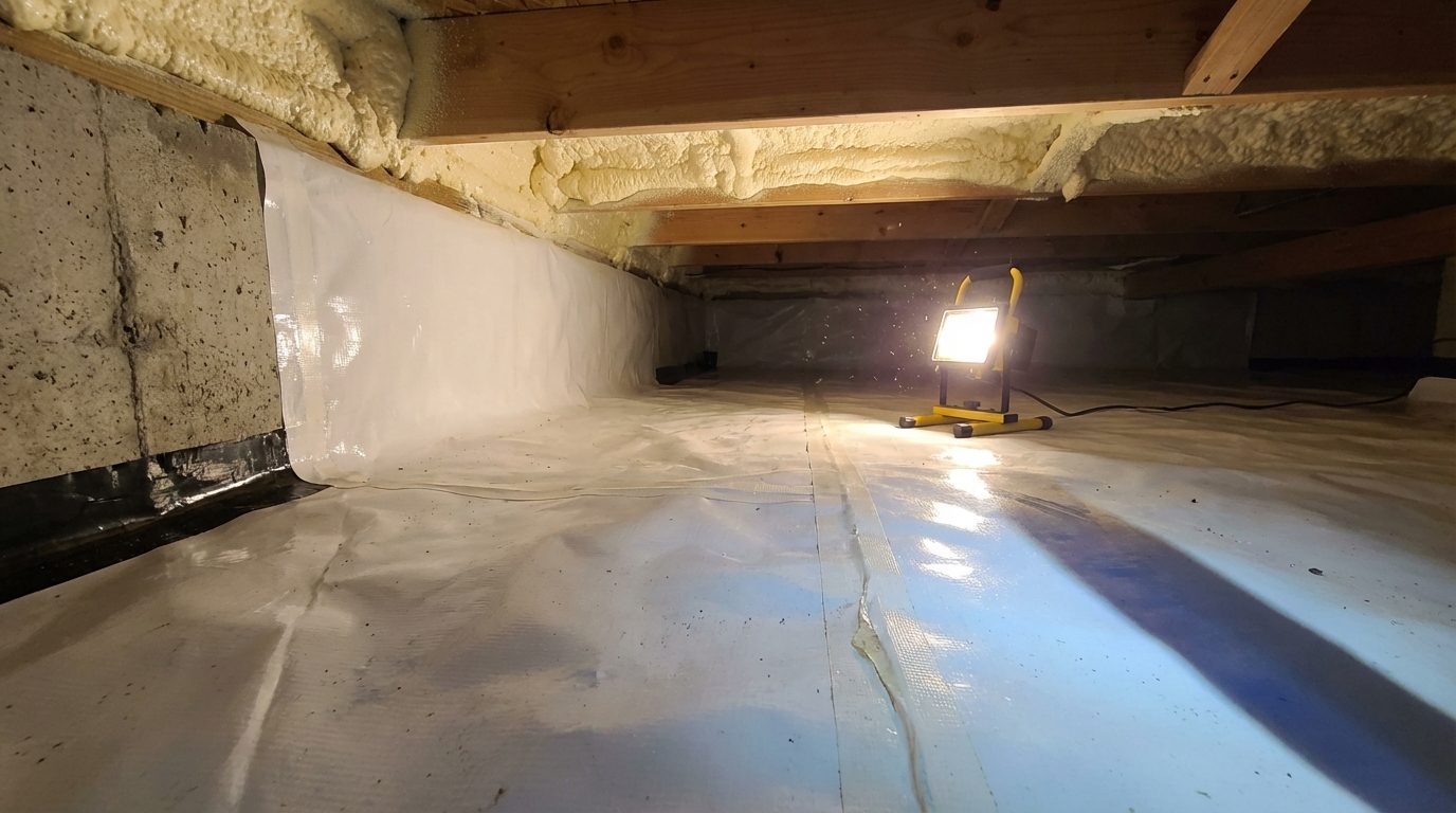
We Document Every Step For Rebate Applications
Itemized scope, humidity readings, and timestamped photos formatted for Mass Save Home Energy Assessment and insulation rebate applications. Verify current eligibility and caps before work begins.
Save On Your Massachusetts Crawl Space Project
Massachusetts Mass Save is one of the few programs that explicitly lists crawl space and basement insulation as eligible measures. Crawl space encapsulation, insulation, and dehumidifier upgrades often qualify.
Mass Save Insulation Rebate
Free Home Energy Assessment then 75 to 100% off approved insulation, no fixed cap. Crawl space and basement insulation explicitly listed. Available via National Grid and Eversource MA.
MassSave.com →Mass Save 0% HEAT Loan
0% interest loan up to $25,000 for larger encapsulation and insulation scopes. Available after a Mass Save Home Energy Assessment.
Mass Save HEAT Loan →IRS 25C Home Improvement Credit
The federal 25C credit (30%, up to $1,200/year on insulation, air-sealing, and audits) ended December 31, 2025 and does not apply to 2026 projects. Work completed in 2025 can still be claimed on your 2025 return.
IRS.gov 25C Credit →National Grid MA Rebates
National Grid MA customers receive rebates on ENERGY STAR dehumidifiers and insulation upgrades after a crawl space encapsulation project.
National Grid MA →Federal Rebate Finder
Enter your zip to see current rebate amounts from National Grid MA and manufacturers on ENERGY STAR dehumidifiers.
ENERGY STAR Finder →DSIRE Massachusetts
Federal-funded database of every MA state, local, and utility incentive. Search insulation or dehumidifier.
DSIRE MA →Green Restoration is an independent contractor and not affiliated with these programs. We document every job with the paperwork you need to apply. Rebate amounts and eligibility change. Always verify on the official site.
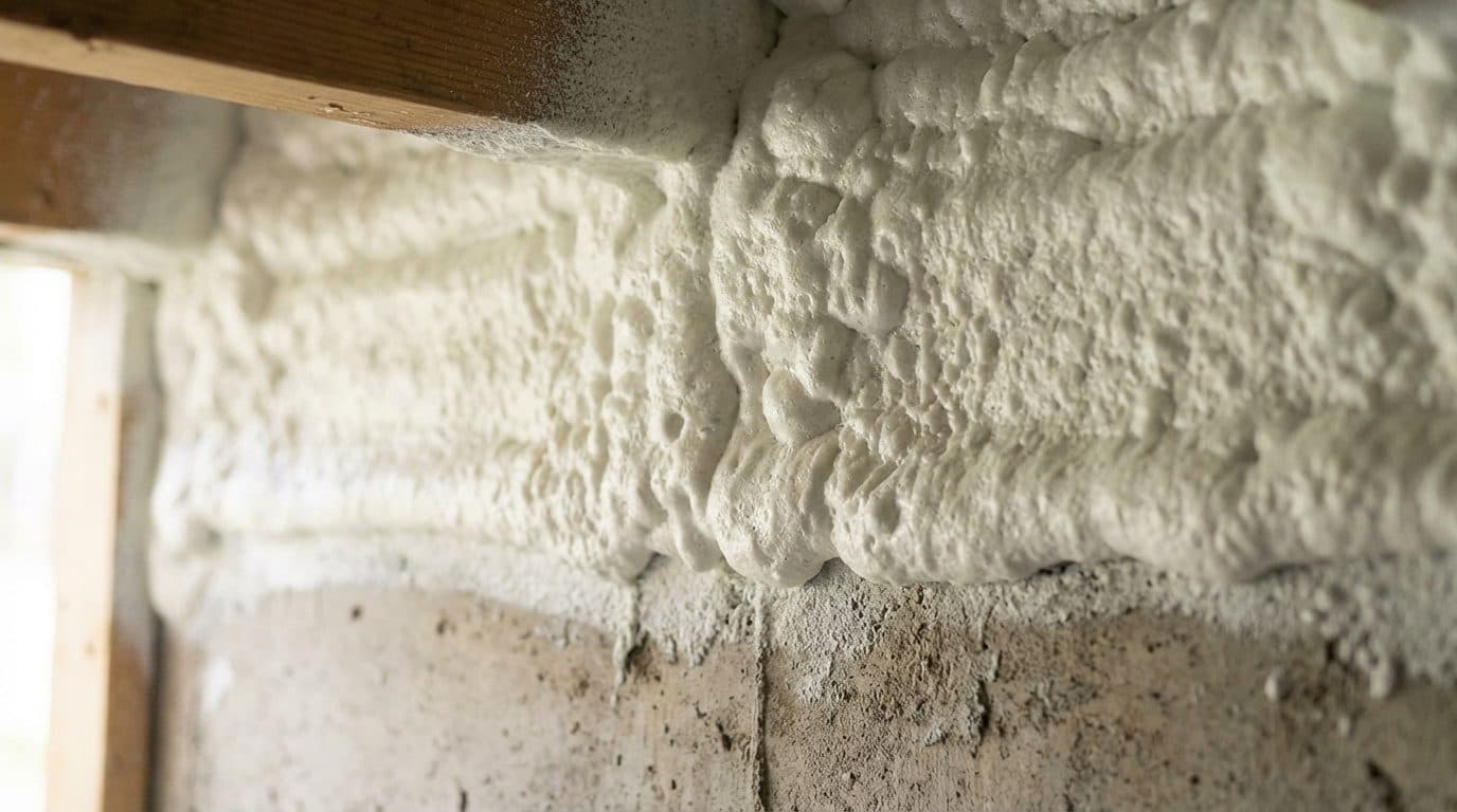
What An Untreated Crawl Space Costs Your Monson Home
Most Monson homeowners don't realize crawl space problems keep spreading until they show up upstairs as odors, cold floors, and rising bills. Inland humidity, older fieldstone foundations, and seasonal groundwater make it compound fast.
Chicopee Brook Floodplain Wicking
Chicopee Brook floodplain Pressure
Monson Center and South Monson crawl spaces sit within the USACE Conant Brook Dam watershed where Chicopee Brook seasonal flooding drives moisture into fieldstone foundations year-round, especially during spring snowmelt and named-storm events.
Fieldstone Foundation Mortar Deterioration
1850-1920 Mill-Era Capillary Migration
Monson fieldstone foundations feature footing geometry from the mid-nineteenth century that wicks groundwater into joist bays through deteriorated mortar joints. Original-growth chestnut joists in Monson Center and Cushman Woolen Mill district buildings are most vulnerable.
IECC Zone 5A Freeze-Thaw Cycling
Persistent Sub-Slab Moisture Loading
Margaret Street and Brimfield Road parcels experience seasonal freeze-thaw cycling under Zone 5A that keeps sub-slab pressure elevated well into late spring, driving capillary moisture upward through concrete and fieldstone footings.
Rodent Pressure From Wooded Cover
Granite Quarry and Mill-Village Brush Migration
Monson wooded cover along the Flynt Granite corridor and Seven Mile River watershed drives rodent activity into deep crawl spaces through compromised fieldstone footing joints and sill-plate gaps.
Stack Effect Pulling Crawl Air Upstairs
Musty Odors Migrating Into Living Areas
Monson fieldstone and post-war ranch stock generate strong vertical draft. Crawl air laced with granite-quarry dust and Chicopee Brook corridor moisture migrates straight into living areas by August.
Insurance Documentation Gaps
Carrier Scope Clarity For Pioneer Valley Claims
Many Monson water intrusion claims stall on undocumented moisture readings and damage geometry. We capture every meter reading, photo, and time-stamped log for carrier handoff.
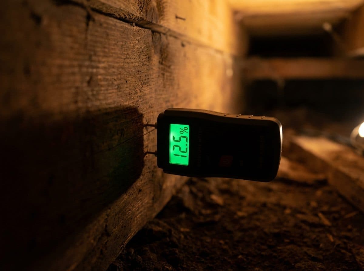
Why Monson Crawl Spaces Need Professional Restoration
Monson's inland river-valley humidity, older fieldstone foundations, and seasonal high water tables create unique crawl space challenges that require local expertise and proper encapsulation, not just a quick cleanup.
45-65 Minute Response From Western Mass Dispatch
Our crews dispatch from our Western Massachusetts team and reach Monson Center, South Monson, and Route 32 corridor via I-90 and Route 32. Monson emergency dispatches typically arrive in 45 to 65 minutes.
Chicopee Brook Floodplain and Fieldstone Foundation Expertise
Monson crawl spaces face Chicopee Brook floodplain pressure and 1850-1920 fieldstone foundations. Our technicians map every joist with Tramex moisture meters before scoping work.
Post-War Ranch and Fieldstone Mill-Era Foundation Stock
Monson fieldstone foundations predate modern vapor barrier requirements. We seal foundations and install reinforced 12-mil vapor barriers across the entire Monson footprint under ASTM E1745.
Single-Ticket Project Coordination
Monson crawl space jobs sequence cleanup, mold remediation, vapor barrier installation, insulation, and dehumidifier integration on one ticket. One project manager owns the build from Monson Center to South Monson.
The Crawl-Space Problems We See Most in Monson
These are the crawl-space problems we solve most often, every job sealed to a dry, encapsulated standard with documented moisture control and energy rebates where they apply.
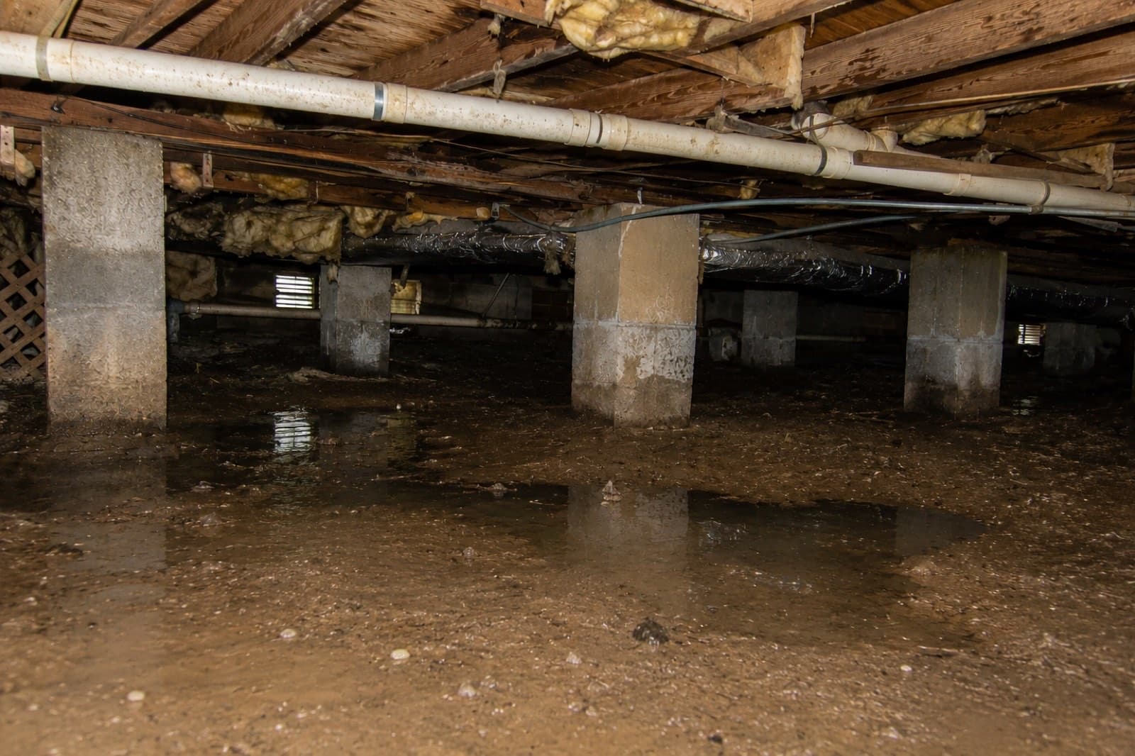
Wet Crawl Space, Dried And Drained
In Monson, Chicopee Brook floodplain wicking and Conant Brook Dam watershed keep ground moisture high under fieldstone foundation crawl spaces.
A dirt-floor or vented crawl space pulls ground moisture and humid outside air up against the framing, so standing water, damp soil, and condensation keep the wood and insulation wet year round. That constant moisture is what feeds mold, rot, and pests below the living space.
We diagnose the moisture source first, then address grading, drainage, and any sump or interior drain need before sealing. Standing water is removed, the crawl is cleared, and we set the conditions for a dry assembly rather than sealing moisture in.
The crawl space is brought to a stable, dry condition and the moisture driver is corrected before any vapor barrier goes down. Scope and photos are documented for your file.
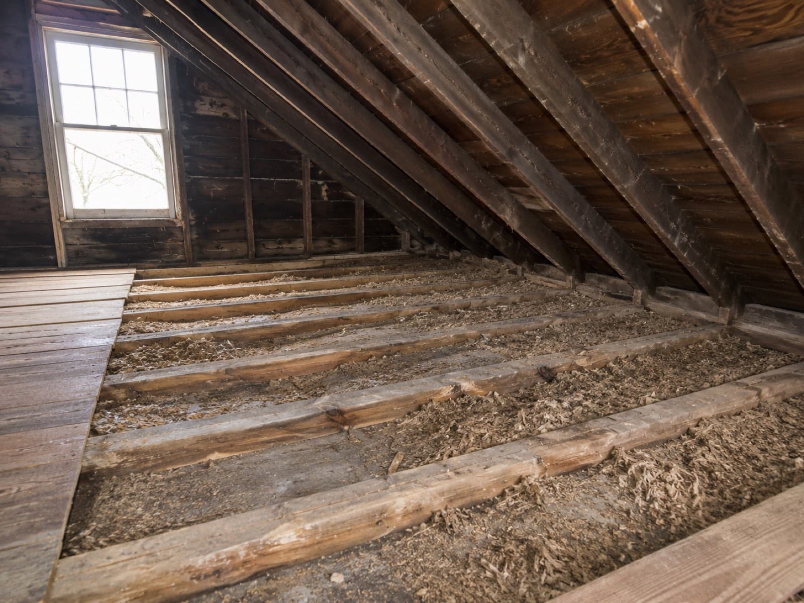
Scenario 1 of 5: Wet Crawl Space
What To Do Before A Crawl Space Cleanup In Monson, MA
A little caution before our crew arrives can protect your health and lock in a cleaner, faster restoration. Follow these steps while waiting for our IICRC-certified team.
What To Do Immediately
If you can see or smell moisture, document it. A cheap hygrometer through the crawl space access shows whether humidity is above 55%, which is the red line for mold colonization on Monson joists.
If a supply line or drain is visibly leaking into the crawl space, turn off the main water valve. In older Monson homes it is typically in the basement near the street-side foundation wall.
Rodent droppings, compromised insulation, and pooling water carry real health risks. Seal the crawl space hatch and wait for an IICRC inspection before anyone enters, including you.
Take timestamped photos and video of droppings, wet insulation, standing water, or visible mold before any cleanup. Your insurance adjuster will require this for covered Monson claims.
Musty crawl space odors travel through floor penetrations into living areas via the stack effect. Write down when you first noticed them and when they get stronger.
Contact our IICRC-certified team for a proper crawl space assessment. We respond to Monson properties within 60 minutes for active water events and schedule inspections fast.
What NOT To Do
Rodent droppings can aerosolize dangerous pathogens like hantavirus. Without a proper respirator, Tyvek suit, and HEPA equipment, entering puts your health at direct risk.
Dry sweeping kicks pathogens into the air. Standard shop vacs blow contamination right back out. Only HEPA-filtered extraction safely removes rodent waste from Monson crawl spaces.
Blowing air through a contaminated crawl space pushes spores, droppings dust, and odors directly up into your living areas through every floor penetration and HVAC return.
That damp, earthy smell is almost always active mold or bacterial contamination. The longer it goes, the more it colonizes joists and subfloor in Monson homes.
Sealing moisture and contamination under plastic traps it and accelerates decay. Cleanup and drying must come first, then encapsulation, in that order.
Monson crawl spaces hit their worst humidity July through September. Mold colonization accelerates in those months, so addressing issues quickly matters.
Dead Animal Removal & Feces Cleanup In Monson, MA
Decomposing carcasses, droppings, and urine-saturated insulation aerosolize hantavirus, leptospirosis, and salmonella pathogens through floor penetrations. IICRC-certified HEPA-filtered removal with EPA-registered antimicrobial treatment is the only safe path forward.
Animals We Remove From Monson Crawl Spaces
Most common. Drop litter sites and 1-3 day decomposition odor through floor vents.
Enter through soffit gaps and attic-to-crawl-space chases. Larger carcass means heavier decomposition load.
Enter through torn vapor barrier or vented foundation. Aggressive PPE protocol required.
Guano is a hantavirus and histoplasmosis source. EPA-registered antimicrobial mandatory.
Nest in vented crawl space corners. Droppings carry psittacosis. HEPA extraction required.
Burrow under vapor barrier and nest in damaged insulation across the perimeter.
Pathogens In Untreated Contamination
Aerosolized from dried rodent droppings. CDC warns against dry sweeping or vacuuming without HEPA filtration.
Bacterial pathogen transmitted through rodent urine-saturated insulation and standing water in crawl spaces.
Carried by rodent droppings and bird guano. Migrates upstairs through floor penetrations via stack effect.
Fungal spores grow in bat guano and bird droppings. Respiratory exposure risk during DIY cleanup.
Our IICRC-Certified Carcass & Feces Cleanup Protocol
(833) 970-2121Tyvek suits, N95 or P100 respirators, nitrile gloves, and HEPA-filtered negative-air containment before entering the crawl space.
Sealed double-bagging of all carcasses with EPA-registered disinfectant pre-treatment to neutralize aerosol risk during handling.
HEPA-filtered extraction of droppings and contaminated insulation. No sweeping, no shop vacs that recirculate spores.
EPA-registered antimicrobial applied to joists, subfloor, and foundation walls per IICRC S520 protocol after contaminated material removal.
Plant-based odor neutralizer and ozone or hydroxyl treatment when decomposition odor has saturated framing or HVAC ducting.
Post-cleanup air sampling and visual inspection confirm contamination removed before homeowner sign-off.
Crawl Space Cleanup Coverage In Monson, MA
Full-service crawl space cleanup, encapsulation, and moisture control for Monson homes and businesses. HEPA-filtered crews, vapor barrier systems, and commercial dehumidifiers on every job.
Green Restoration provides IICRC-certified crawl space cleanup, encapsulation, and moisture control in Monson, MA, covering Monson Center, South Monson, Margaret Street corridor, Flynt Granite neighborhood, Brimfield Road properties, and Seven Mile River watershed parcels. HEPA-filtered crews and reinforced vapor barrier materials on every truck dispatched from our Western Mass team.
Monson crawl spaces face Chicopee Brook floodplain wicking, USACE Conant Brook Dam watershed seasonal pressure, and IECC Zone 5A freeze-thaw cycling that drives moisture into 1850-1920 fieldstone foundations year-round. The result is a Pioneer Valley inland humidity profile that no shoreline sibling town carries at the same sub-slab depth.
Crawl Space Issue In Monson?
Call now for a free inspection. Emergency water response 24/7/365.
(833) 970-2121IICRC Certified · Licensed & Insured · All Insurance Accepted
All Towns Served By Green Restoration Of Western Massachusetts From Our Springfield Location For Crawl Space Cleanup, Encapsulation & Moisture Control.
Why Monson Crawl Spaces Are Different
Local drainage, housing stock, and foundation construction shape every encapsulation scope.
Free On-Site Assessment
Not sure what you are dealing with in Monson?
We establish the scope on site, before anything is quoted.
(833) 970-2121Monson housing stock stands apart from suburban Pioneer Valley towns because of the Chicopee Brook floodplain, USACE Conant Brook Dam watershed, and IECC Zone 5A freeze-thaw loading. Monson Center and the Cushman Woolen Mill district hold fieldstone foundations dating to 1850-1920 with balloon framing and plaster-on-lath walls. Route 32 corridor ranches add post-war concrete pier crawl spaces. The Seven Mile River watershed and annual tornado-path rebuild activity combine to create a moisture profile that no suburban Hampden County town carries at the same sub-slab depth.
Chicopee Brook enters Monson from the north and drains through Monson Center before joining the Quaboag River system, placing dozens of fieldstone-foundation properties within or adjacent to FEMA floodplains. During spring snowmelt and named-storm events, groundwater pressure along the Conant Brook Dam watershed backs up against original footing mortar that was never designed to resist hydrostatic load. Crawl spaces in South Monson and along Margaret Street regularly show 70 to 75 percent relative humidity from May through September, and fieldstone capillary wicking keeps sub-slab moisture elevated well into October after the last rain.
Route 32 post-war ranch construction in the Brimfield Road and Flynt Granite corridor brings a different challenge: shallow concrete pier footings that settle unevenly under Zone 5A freeze-thaw cycles, opening gaps at the sill plate where rodents enter and cold air infiltrates. Many of these properties still carry original mid-century fiberglass batts that have compressed to less than R-3 effective, leaving rim joists uninsulated and vapor-permeable through winter. Green Restoration documents every moisture reading, footing gap, and insulation void with Tramex meters and time-stamped photos so property owners have a clear record for insurance carriers and Mass Save rebate applications.
Rapid Crawl Space Response In Monson, MA
Our certified crews cover Monson from our Western Massachusetts dispatch, reaching Monson Center, South Monson, and Route 32 corridor addresses within 45 to 65 minutes via I-90 and Route 32. Active water intrusion calls trigger 60-minute emergency dispatch with HEPA-filtered equipment and commercial LGR dehumidifiers pre-loaded.
Over 1,000 crawl spaces cleaned, sealed, and encapsulated across Western Massachusetts, from single-room rodent cleanups to full encapsulation projects with commercial dehumidifier integration.
According to Green Restoration's IICRC documentation logs, typical crawl space encapsulation wraps in 3 to 5 days with humidity verified below 55% before signoff.
Itemized scope, humidity readings, and timestamped photos formatted for Mass Save Home Energy Assessment and insulation rebate applications.
Top rated by the Better Business Bureau with verified five-star Google reviews across Western Massachusetts.
About Green Restoration In Monson, MA
Your Western Massachusetts Crawl Space Specialists Since 2014
According to Green Restoration's field reports, Monson crawl spaces typically run between 68% and 80% relative humidity through summer, with Chicopee Brook floodplain properties near Monson Center reaching higher peaks during dam-release events. Green Restoration states that fieldstone mill-era foundations trap moisture against original framing, accelerating mold colonization on joists within 48 hours of sustained exposure. We document every moisture meter reading and damage extent clearly for Monson property owners and insurance carriers.

“As the local franchisee covering Monson and Hampden County, I bring 15+ years of IICRC-certified restoration experience, both AMRT and WRT, to every Monson project. From Chicopee Brook floodplain fieldstone foundations in Monson Center to post-war ranch crawl spaces on Route 32 and 2011 tornado-path properties on Main Street, every job gets my direct oversight and full IICRC-standard documentation.”
Trusted by Families in Monson &
Western Massachusetts
4.9 out of 5, Rated by your neighbors on Google
We discovered mold when removing our pellet stove and called Green Restoration for help. David was very communicative and helpful throughout the entire process. He did the job thoroughly and professionally. Highly recommended!
David Woolner
Mold RemediationI had a fantastic experience with Green Restoration. From start to finish, the team was professional, thorough, and extremely knowledgeable. David came for the initial inspection and took the time to explain the entire process.
Annmarie Gieparda
Mold RemediationWe had mold due to a water leak in our half finished basement. David and his crew did a great job, we were very satisfied. I would highly recommend Green Restoration to anyone.
Tanya
Water DamageI needed my entire condo completely cleaned after a soot blow back. Green Restoration was top shelf! So thorough and professional. Thank you so much!
Jacki Hornish
Fire & Soot CleanupHow Much Does Crawl Space Cleanup Cost In Monson, MA?
Monson pricing scales with Chicopee Brook floodplain exposure in Monson Center and Route 32 corridor ranch slab depth. Pre-1920 fieldstone mill foundations trend higher; post-war Ranch crawl spaces settle near median.
Vapor Barrier Only
$3,000 to $5,000
Sealed reinforced vapor barrier matched to Monson fieldstone mill-era footing geometry, post-war ranch concrete piers along Route 32, and Chicopee Brook floodplain sub-slab moisture pressure in South Monson
Mid Encapsulation
$5,500 to $9,500
Cleanup, vapor barrier, insulation replacement, sealed vents, basic dehumidifier integration
Full Service
$10,000 to $15,000+
Mold remediation, rodent cleanup, drainage, full encapsulation, commercial dehumidifier and monitoring
Final cost depends on crawl space depth, moisture or mold load, rodent contamination, insulation scope, drainage needs, and dehumidifier sizing for Monson fieldstone and post-war ranch foundation types. Use the calculator below for a personalized Monson estimate. Mass Save rebates can offset insulation scope.
Monson Crawl Space Cleanup & Encapsulation FAQs
Clear, honest answers about rodent cleanup, encapsulation scope, insurance coverage, insulation rebates, and project timelines across Monson.
Monson crawl space encapsulation spans a $3,000 to $15,000 range. Vapor barrier replacement on accessible post-war ranch stock along Route 32 lands $3,000 to $5,500. Mid-scope encapsulation on Monson Center fieldstone colonials and South Monson properties lands $5,500 to $9,500. Full-scope work on deep fieldstone Chicopee Brook corridor footings, including manual vapor barrier forming, extended HEPA drying cycles, mold remediation, R-19 closed-cell rim joist insulation, and commercial dehumidifier integration, runs $10,000 to $15,000. Brimfield Road and Margaret Street properties with persistent Conant Brook watershed moisture add drainage scope before vapor barrier installation, pushing into the upper band. Mass Save rebates can offset insulation scope. Call (833) 970-2121 for an on-site estimate.
From our Western Massachusetts dispatch, crews reach most Monson addresses within 45 to 65 minutes via I-90 and Route 32, covering Monson Center, South Monson, Margaret Street, Brimfield Road, and Seven Mile River watershed parcels. Active water intrusion calls trigger a 60-minute emergency dispatch with HEPA-filtered equipment, commercial LGR dehumidifiers, and IICRC S500-certified water restoration crews already loaded on the truck. For scheduled crawl space cleanup, encapsulation, or rodent remediation, projects are typically booked within 24 hours of inbound call across the Monson service area. Call (833) 970-2121 to start the dispatch or request a same-day on-site moisture assessment.
Yes for sudden and accidental events, no for preventive encapsulation. Standard Massachusetts homeowner policies cover crawl space damage from burst pipes, storm flooding, appliance failures, and sewer backup if the rider is in force. The most common Monson insurance claim involves Chicopee Brook AE-zone groundwater intrusion into fieldstone footings, particularly in Monson Center where seasonal flooding drives rapid moisture entry during snowmelt and named storms. Preventive encapsulation, vapor barrier installation, and rodent cleanup are home improvement and are not covered. We submit IICRC S500-standard scope documentation, dry log charts, and time-stamped damage photography directly to your insurer. We are not licensed public adjusters and do not negotiate claims on your behalf.
Monson properties served by National Grid or Eversource MA qualify for Mass Save insulation rebates. A no-cost Mass Save Home Energy Assessment identifies eligible measures. Standard rebates cover 75 to 100% off approved insulation upgrades for crawl space and basement scope. Income-eligible households may qualify for deeper assistance through the Mass Save income-tier program. Mass Save also offers a 0% HEAT Loan up to $25,000 for larger encapsulation scopes. Monson sits in IECC Climate Zone 5A under the 2022 Massachusetts Energy Conservation Construction Code, requiring Class I vapor retarder per ASTM E1745. Verify current eligibility tiers and program caps at masssave.com before scope finalization.
Most Monson crawl space encapsulation projects close in 3 to 5 working days from on-site arrival to humidity-verified signoff. Day one covers HEPA containment setup, rodent cleanup, and standing water extraction. Day two runs full drying with commercial LGR dehumidifiers, IICRC S520 antimicrobial treatment, and structural assessment of fieldstone footing geometry. Days three and four install the 12-mil reinforced Class I vapor barrier per ASTM E1745 with hand-formed wall-up coverage, replace R-19 closed-cell rim joist insulation, and integrate a commercial dehumidifier sized to cubic footage. Day five completes humidity verification below 55% RH per ASHRAE 160, photo documentation, and project file handoff.
Deep fieldstone crawl spaces in Monson Center or Chicopee Brook corridor properties with complex footing geometry or AE-zone drainage interference can extend to 7 working days.
Monson wooded cover along the Flynt Granite corridor and Seven Mile River watershed drives rodent pressure toward deep crawl spaces through deteriorated fieldstone footing joints and sill-plate voids. Crews enter in Tyvek containment with full-face N95 or P100 respirators and HEPA-filtered negative-air machines because aerosolized rodent droppings can carry hantavirus, leptospirosis, and salmonella that disperse through floor penetrations into living areas via stack effect. Cleanup follows IICRC S520 antimicrobial protocol: dry rodent material is misted with EPA-registered antimicrobial to prevent aerosolization, sealed in approved waste bags, contaminated insulation is removed and replaced, and joists are treated before any vapor barrier installation. DIY shop-vac cleanup is the highest-risk path because standard filters recirculate pathogens into the breathing space.
No. Monson Chicopee Brook corridor and South Monson properties often show persistent seasonal moisture through fieldstone footing joints that must be diagnosed and dried before any vapor barrier is installed. Sealing moisture against fieldstone framing traps capillary water against original-growth chestnut members that remain in many Monson Center crawl spaces and accelerates rot.
Proper sequence: Tramex moisture meter readings on every joist and footing section, source identification (Chicopee Brook AE-zone groundwater, plumbing supply line failure, foundation seep, or condensation), interior drainage or sump pump install if groundwater is the source, full HEPA-filtered dry-down to below 18% wood moisture content, then 12-mil reinforced Class I vapor barrier per ASTM E1745 hand-formed to fieldstone footing geometry. Especially critical for Monson Center fieldstone configurations.
Without professional encapsulation, mold colonizes joists within 48 hours of sustained moisture exposure per IICRC S520 standards. Monson crawl spaces run 68% to 80% relative humidity through summer, elevated by Chicopee Brook floodplain exposure and USACE Conant Brook Dam watershed groundwater that channels moisture toward fieldstone foundations, well above the 55% RH ASHRAE 160 threshold for stable building assemblies. Fieldstone footings in Monson Center and the Cushman Woolen Mill district compound moisture load through deteriorated mortar joints, accelerating wood rot and original-growth joist breakdown. Stack effect pulls saturated crawl air through floor penetrations into living areas.
Professional encapsulation closes the system with diagnostic moisture mapping, IICRC S520 antimicrobial treatment, ASTM E1745 Class I vapor retarder, R-19 closed-cell rim joist insulation, and commercial dehumidifier integration locking conditions below 55% RH year-round.

