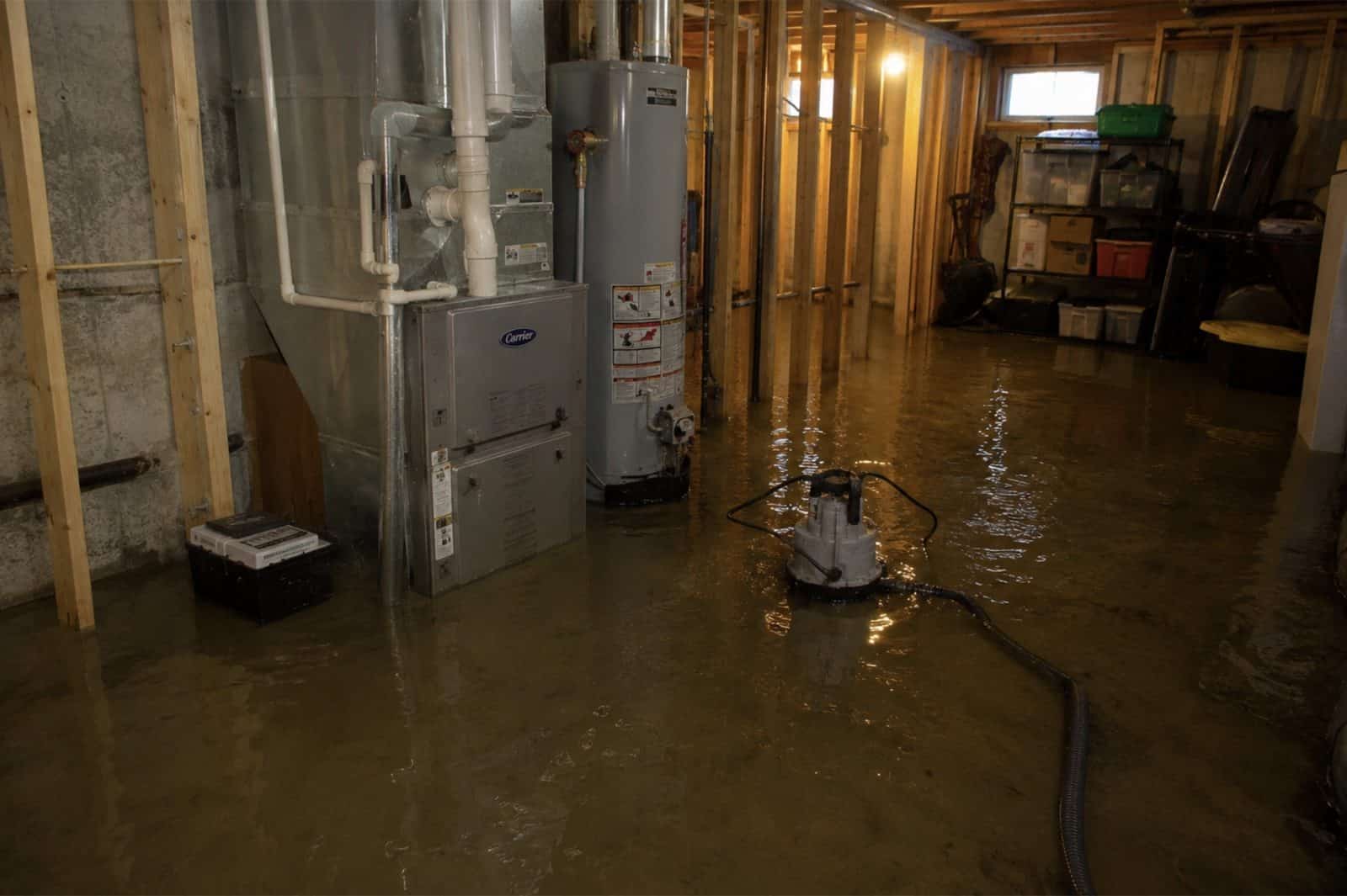
Flood & Storm Damage Restoration Goshen, CT
Woodridge Lake Drainage, Beaver Release And Freeze-Break Flooding 60-Minute Response, Direct Insurance Billing
 IICRC Certified
 Eco-Friendly Solutions For Healthier Spaces
Reviewed by David Megeneishvili·Licensed & Insured In CT·IICRC AMRT + WRT
What Is IICRC S500 §5.3 Flood Damage Restoration?
Flood damage restoration is the IICRC S500-2021 §5.3 documented process for Category 3 black water: full PPE response, controlled demolition of porous materials to sill plate, EPA-registered antimicrobial application per IICRC S520-2024, structural drying to ANSI/IICRC dry standard, and lab-verified post-remediation clearance before reconstruction. Woodridge Lake drainage runoff, headwater brook flow, beaver-release water and septic backup all arrive as Category 3 on contact, however clear the water looks against a fieldstone wall.
In Goshen, CT, Green Restoration sequences every flood scope: 60-minute dispatch, FLIR thermal mapping and Tramex CME 5 moisture verification, truck-mounted Hydramaster extraction, controlled porous demolition, antimicrobial treatment, Phoenix Axial drying monitored daily, and a carrier-ready scope file with NFIP-formatted documentation, base flood elevation reference, and high-water-mark photographs filed within the 60 days NFIP Proof of Loss window.
- IICRC S500-2021 §5.3 aligned
- IICRC S520-2024 antimicrobial protocol
- ASTM E1745 Class I vapor retarder
- ASHRAE 160 humidity targets
- NFIP-formatted scope packet
- FEMA Map Service Center referenced
The Four Layers Of Flood Coverage In Goshen
NFIP Building
$250,000
single-family cap
NFIP Contents
$100,000
residential cap
FEMA IA Grant
$43,600
+ $43,600 ONA
SBA Home Loan
$500,000
from 2.875%
Your standard CT homeowners policy excludes flood, surface water, tidal overflow, and wave action. NFIP closes the gap with a 30 days waiting period and a 60 days Proof of Loss deadline. Add $30,000 Increased Cost of Compliance for elevation requirements.
Connecticut average NFIP claim payout was $8,727 in 2025 and the average policy premium runs $1,426/year for roughly $272,799 of coverage (per FEMA NFIP and CT Insurance Department data). This information is general education only, not insurance, legal, or coverage advice. We submit IICRC documentation directly to your insurer. We are not licensed public adjusters and do not negotiate, adjust, interpret your policy, or settle claims on your behalf.
How to clean up after a flood: our step by step first 48 hours guideConditions from the National Weather Service and Open-Meteo.
Trusted by Families in Goshen &
Litchfield County
4.9 out of 5, Rated by your neighbors on Google
We discovered mold when removing our pellet stove and called Green Restoration for help. David was very communicative and helpful throughout the entire process. He did the job thoroughly and professionally. Highly recommended!
David Woolner
Mold RemediationI had a fantastic experience with Green Restoration. From start to finish, the team was professional, thorough, and extremely knowledgeable. David came for the initial inspection and took the time to explain the entire process.
Annmarie Gieparda
Mold RemediationWe had mold due to a water leak in our half finished basement. David and his crew did a great job, we were very satisfied. I would highly recommend Green Restoration to anyone.
Tanya
Water DamageI needed my entire condo completely cleaned after a soot blow back. Green Restoration was top shelf! So thorough and professional. Thank you so much!
Jacki Hornish
Fire & Soot CleanupMore Green Restoration Services in Goshen
The same local Green Restoration team covers all of these across Goshen. One number for every emergency and every cleanup.
What Does Flood & Storm Damage Restoration In Goshen, CT Involve?
Flood and storm damage restoration in Goshen, CT means extracting floodwater, drying the structure and repairing storm damage under IICRC S500-2021 section 5.3, the standard that classifies contaminated water and sets how it is remediated. Here that covers two emergencies handled by one crew: storm stabilization (emergency tarp-up, wind and fallen-tree impact, board-up) and Category 3 water (Woodridge Lake drainage-area flooding, headwater runoff off the Marshepaug and Bantam catchments, culvert overtopping on West Hyerdale Drive and East Street South, beaver-dam release, and septic backup).
Goshen has no piped natural gas and almost no public water, so a flood that reaches a wellhead or a septic field is a drinking-water problem as well as a building one, and a winter outage that stops the heat is a burst-pipe event. According to Green Restoration intake records across the Litchfield Hills, the Goshen losses that escalate are usually the ones discovered late in a house nobody was living in, not the ones with the deepest water. Green Restoration extracts, applies EPA-registered antimicrobial per IICRC S520-2024, dries to the ANSI and IICRC standard, and files the loss for your NFIP and Connecticut homeowners carriers. Response across Goshen is 60 minutes, 24/7.
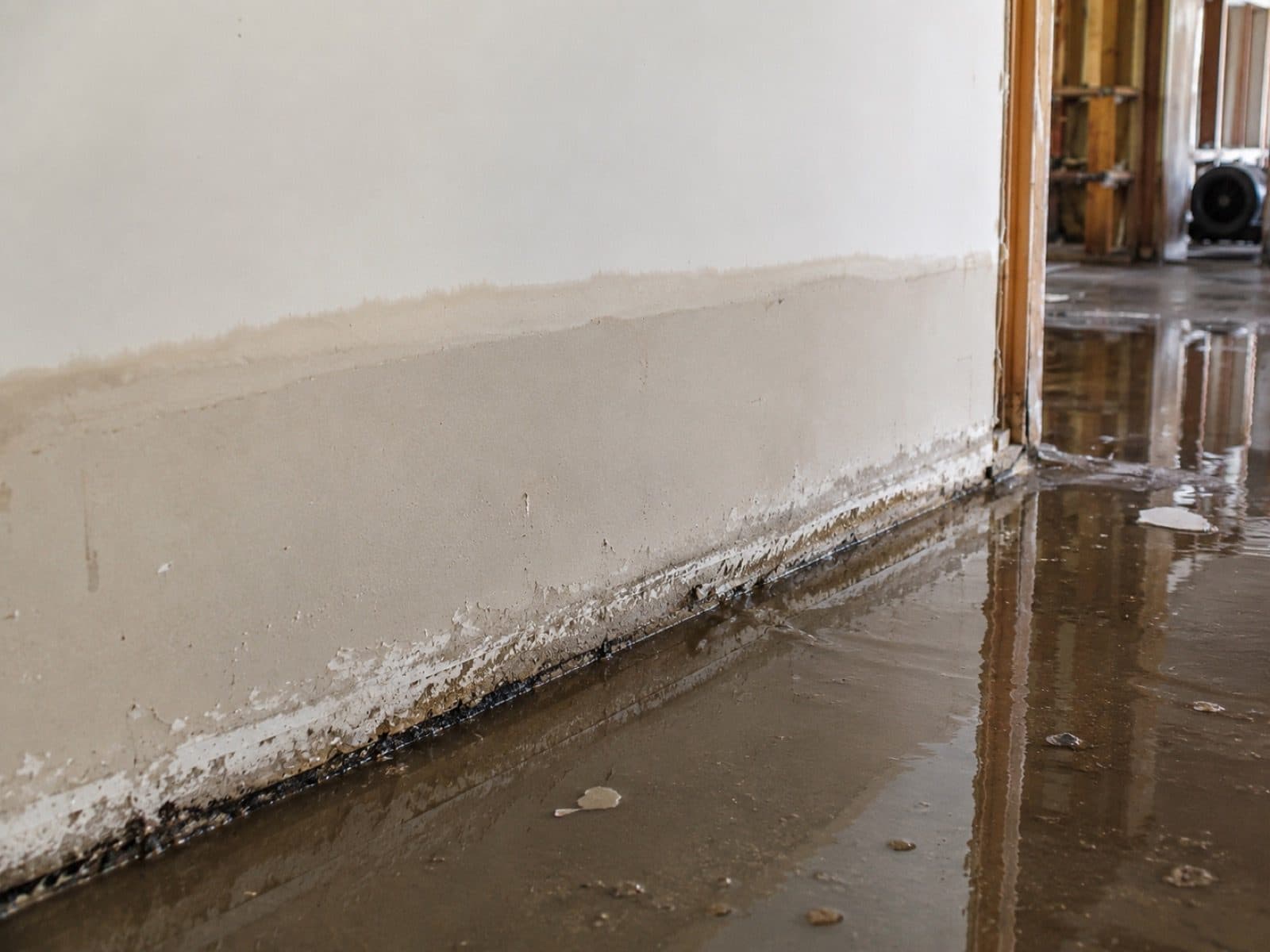
Goshen Flood History
The Goshen annex to the Northwest Hills hazard mitigation plan states that flooding in Goshen is a slightly lesser concern compared to other communities because there are no major rivers flowing through the community, and that isolated flooding still occurs due to inadequate drainage systems and beaver dams. It names the Woodridge Lake drainage area as particularly of concern because the community was developed roughly fifty years ago and much of the drainage system is beginning to deteriorate, with road flooding in recent years. It records that town staff report inaccurate FEMA flood maps and a lack of flood zone delineation in some areas as a significant challenge for residents.
And it warns that in a town where about 23 percent of housing is seasonal, flooding of a residence could go undetected and unreported for several days with no one living there. Goshen has zero repetitive loss properties.
Source: NHCOG Multi-Jurisdictional Hazard Mitigation Plan Update, January 2022, Goshen Municipal Annex sections 2.10, 3.1 and 3.2. Photo: FEMA / DHS, public domain (representative regional photo).
- FEMA Designation
- No mapped flood hazard zones in the FEMA National Flood Hazard Layer, effective FIRM dated November 16, 1990
- Primary Flood Vectors
- Woodridge Lake drainage-area flooding, headwater runoff on a three-way drainage divide, culvert overtopping and road flooding, beaver-dam release, freeze-break flooding after long outages, wind and fallen-tree damage
- NFIP Coverage Caps
- $250K building · $100K contents
- Response
- 60 min, 24/7
Verify Your Flood Zone
(860) 222-9498Complete Flood & Storm Damage Restoration In Goshen, CT
One crew for both emergencies: storm stabilization, tarp-up and fallen-tree work, plus flood extraction for Woodridge Lake drainage flooding, headwater runoff, overtopped culverts, beaver-dam release and freeze-breaks in unoccupied houses. Every loss filed for your insurer.
Woodridge Lake Drainage Area Flooding
The town hazard mitigation plan names one place before any other: the drainage area at Woodridge Lake is particularly of concern due to the increased density of development there. That community was built roughly fifty years ago, much of its drainage system is beginning to deteriorate and needs repairs, and road flooding has occurred in the area in recent years. A comprehensive stormwater drainage study has been completed and the town continues to address one to two of the recommended projects a year. Crews scope this ground first because the water arrives here as sheet flow off pavement and failing pipe, not out of a channel.
Named concern, scoped first
Headwater Runoff On A Drainage Divide
Goshen sits on a divide. The majority of the town drains south to the Shepaug through the East Branch Shepaug, the Marshepaug, the West Branch Bantam and the Bantam River, the northeastern quarter drains to the Naugatuck basin by Hart Brook and Hall Meadow Brook, and the northwestern corner runs to the Hollenbeck River in Cornwall by way of Bradford Brook and Ocain Brook. USGS places the source of the Bantam River inside Goshen at about 1,314 feet and the Marshepaug source at about 1,281 feet. Small, steep, fast catchments put water into a building within the hour rather than over a day.
Three basins, one town
Marshepaug River Culverts On West Hyerdale Drive
Town staff report three pipes, each over seventy feet long, that carry the Marshepaug River under West Hyerdale Drive and need repairs, in part because the galvanized invert is beginning to rot. The town is in the beginning phase of upgrading the culvert linings to reduce the chance of collapse. A crossing in that condition passes less than it was built to pass, and when it backs up the water leaves the channel upslope of the road rather than at the outlet. We record the crossing condition alongside the building condition, because on this river they are the same event.
Crossing logged with the loss
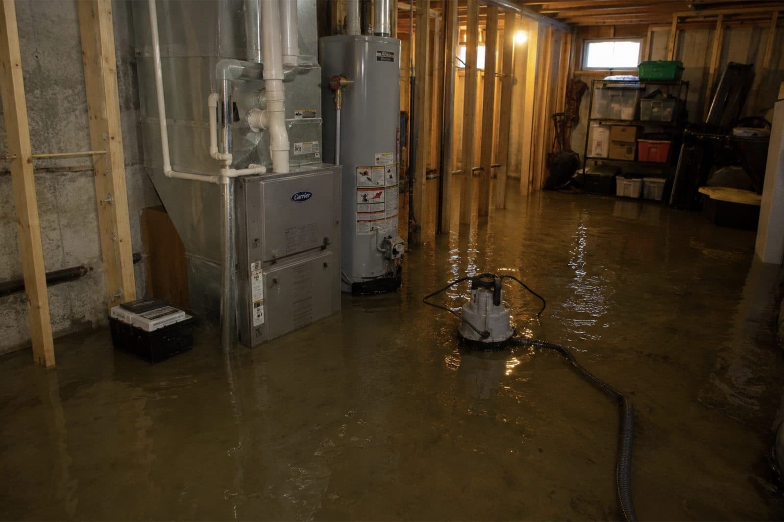
Additional Restoration Services
Documented Road Flooding On East Street And Bartholomew Hill
The plan lists the specific places where heavy precipitation puts water on the road in Goshen: East Street South at the intersection of Reservoir Road, and Bartholomew Hill Road between Sucker Brook and Westside Road. Goshen maintains sixty-eight miles of local road and has no designated evacuation routes because of its rural nature, so a flooded stretch is often the only stretch. We plan staging and equipment drops around the network as it stands on the night rather than as the map draws it.
Category 3 Black Water Extraction
Surface water that has crossed forest floor, farm field or roadway arrives as Category 3 under IICRC S500-2021 section 5.3 whatever it looks like against a cellar wall, because it carries soil bacteria and roadway pollutants. About 73 percent of Goshen is forested and another 12.62 percent is agricultural field, so that is most of what a runoff event travels over before it reaches a foundation. Crews extract with truck-mounted units and solids-rated submersible pumps, remove porous material to the sill plate, apply EPA-registered antimicrobial, then dry against verification readings rather than against a calendar.
Beaver-Dam Release Flooding
Goshen treats beaver flooding as a named municipal hazard rather than a curiosity. The annex records that increased flooding as a result of beavers is of growing local concern due to rising beaver population numbers, that municipal staff describe beaver activity as a persistent issue causing localized flooding, and that the problem is felt especially by private wells. A release puts water into a building with no rain in the forecast at all. We document the mechanism, the timing and the upstream condition on day one, because that narrative is only worth what the file can show.
Seasonal And Second-Home Flood Discovery
About 23 percent of the Goshen housing stock is held for seasonal, recreational or occasional use, and the town wrote the consequence into its own plan: flooding of a residence could go undetected and unreported for several days with no one living there. Days of undetected water is a different job from hours of it. Crews arrive expecting saturated subfloor, wicking into framing and active microbial growth rather than a wet carpet, and the scope opens with a full moisture map of the building instead of the room the owner found.
Freeze-Break Flooding After A Long Outage
The same plan section is blunt about winter: lengthy power outages may leave homes with frozen, broken water pipes and interior flooding in severely cold weather. Goshen has no piped natural gas, so an outage takes the heat down with the lights, and the snowy period here runs six months from October 23 to April 22. Tropical Storm Isaias knocked out power to over 99 percent of the town. A supply line that opens in an unheated, unoccupied house can run until somebody notices, which is why this is the single most common water loss profile in town.
Woodridge Lake And North Pond Dam Exposure
CT DEEP inventoried 22 dams in Goshen and two of them carry hazard class C, the high potential hazard tier. Woodridge Lake Dam, DEEP number 5504, sits upstream of Milton Road, numerous residential properties and some farmland. North Pond Reservoir Dam sits upstream of East Street North, and the plan states that its failure would threaten roadways and some residential buildings. Goshen has no Class B dams and Tyler Lake Dam is class BB. Where a downstream property is involved, the exposure belongs in the file in the words the town itself used.
Private Well And Septic Exposure
Most residents of Goshen rely on private well water. Public supply reaches only two small Aquarion community systems, the Tyler Lake Heights system and a Litchfield, Goshen and Torrington system serving homes around Reservoir Road, plus the Village Marketplace system and a handful of small non-community systems. A flood here is therefore a drinking-water problem as well as a building problem. Where water has reached a wellhead or a septic field, we document the exposure as its own line and coordinate disinfection and testing with the Torrington Area Health District.
Fallen Tree, Wind Impact And Tarp-Up
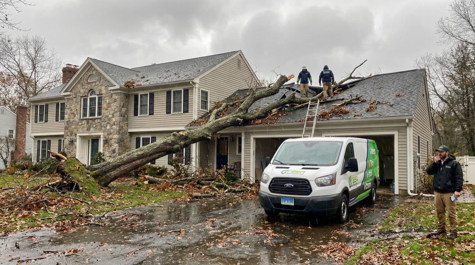
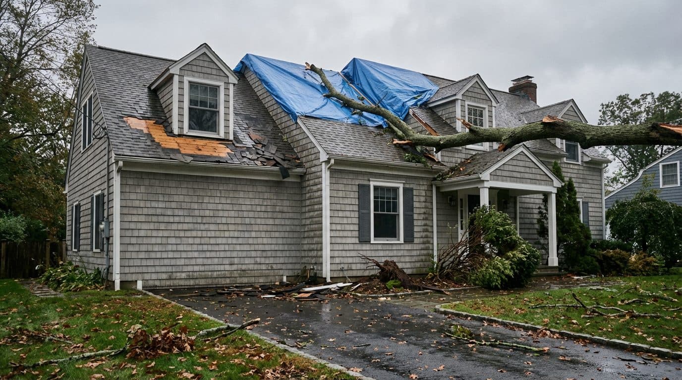
Wind is the money hazard in Goshen, not river stage. Tropical Storm Isaias brought power outages in over 99 percent of the town with downed trees and lines blocking 32 roads, and many large healthy trees were completely uprooted. Irene left 46 percent of the town, some 879 households, without power at its peak. Broken windows and doors get boarded, damaged roof sections tarped to a weather-tight seal, and standing water extracted before it reaches another assembly. Crews arrive with structural shoring and generator power because re-energization on a rural line runs days rather than hours.
Flood Documentation And NFIP Coordination
Rising surface water is excluded from a standard Connecticut homeowner policy and needs separate NFIP flood coverage, so the written source finding decides which policy the claim belongs to. Goshen participates in the National Flood Insurance Program as community 090177, entered the Regular Program on November 16, 1990, and holds no Community Rating System class rating. We submit scope, daily moisture logs, timestamped photos and the source finding directly to your insurer. We are not licensed public adjusters and do not negotiate claims on your behalf.
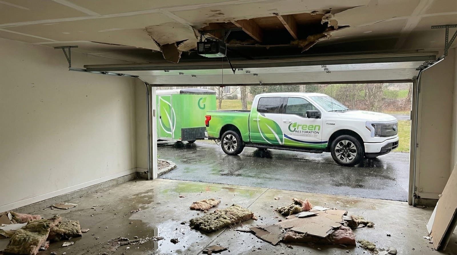
Do Not Let Flood Damage Set Into The Structure. Every Minute Counts.
Woodridge Lake And Headwater Runoff Response, Stone Cellar Drying And Category 3 Black Water Specialists For 06756.
Why The Water Category Decides Everything In A Goshen Flood
Per IICRC S500-2021 §5.3, every flood loss is classified Category 1, 2, or 3 before scope is signed. Category drives demolition extent, antimicrobial protocol, drying timeline, and what your insurance carrier expects to see in the documentation. Flooding in Goshen is Category 3 from the first minute in most cases, whether it sheeted off a deteriorating drainage line at Woodridge Lake, came down a headwater brook past a culvert that could not pass it, or arrived from a beaver release with no rain at all.
Common Sources
Burst supply line, ice maker overflow, sink overflow
Restoration Protocol
Extract, dry, sanitize. Most porous materials salvageable if dried within 24 to 48 hours.
Drying typically 3 to 5 days
Common Sources
Washing machine discharge, dishwasher overflow, toilet overflow without solids, aquarium leak
Restoration Protocol
Extract, antimicrobial pre-treatment, dry, post-clean sanitize. Saturated carpet pad and porous insulation typically discarded.
Drying typically 4 to 7 days
Common Sources
Septic backup, standing surface water, Woodridge Lake drainage-area runoff, Marshepaug and Bantam headwater flow, roadway and culvert overtopping, beaver-dam release water, toilet overflow with solids
Restoration Protocol
Full PPE response, controlled demolition of porous materials to sill plate, EPA-registered antimicrobial per IICRC S520-2024, post-treatment clearance sampling.
Restoration typically 7 to 14 days including reconstruction
Why this matters for Goshen, CT
Wind-driven rain that enters through a roof breach can stay Category 1 if treated within hours.
The same water becomes Category 2 after 48 hours in a warm cavity, and Category 3 once it contacts standing sewage, soil, or decomposing organic material.
Water that has crossed forest floor, agricultural field or roadway arrives already carrying soil bacteria and pollutants, which puts it at Category 3 under S500 section 5.3 no matter how clear it looks against a cellar wall. In Goshen that is most of the ground: about 73 percent of the town is forested and another 12.62 percent is agricultural field, and most households drink from a private well sitting in the same soil. Calling that classification wrong on day one is exactly what turns a week of drying into a demolition scope a month later, and here it can also leave a household drinking from a well nobody tested.
Our Flood & Storm Damage Restoration Process In Goshen, CT
From the first call to final walkthrough, every step is documented, insured, and owner-supervised.
How would you like
to start?
Common range across Category 1 clean supply-line water caught the same day through Category 3 runoff and septic water with silt removal and porous demolition to the sill plate. A seasonal house discovered days later sits higher for the same footprint, and that time is priced openly rather than buried. Final pricing follows the on-site Tramex inspection.
Get A Price Range In 60 Seconds.
Four quick IICRC S500-aligned questions. Starting figures published on this page. No call required, no email collected before you see the range.
Walk The Loss With The Owner.
Tramex CME 5 mapping plus a FLIR scan of the cellar and the framing above it, and a look at the wellhead and septic field if water reached them. Free, no obligation, owner-led on every Goshen flood job.
Ranges shown are starting figures only. Final pricing depends on on-site inspection, NFIP zone reference, and carrier coverage. We are not licensed public adjusters.
Why Choose Us In Goshen
Owner-led service with 60-minute response, direct insurance billing, and eco-friendly methods across Goshen.
60-Minute Emergency Response
IICRC-certified crews arrive within 60 minutes, day or night, every day of the year.
Owner-Operated Local Crew
Every job is personally overseen by our owner, from first call to final moisture reading.
Direct Insurance Billing
We bill State Farm, Liberty Mutual, USAA, Travelers, Allstate, and Chubb directly under HIC.0668405.
EPA-Registered Antimicrobials
EPA-registered antimicrobials and Safer Choice cleaning products applied per IICRC S500 and S520 standards.
Goshen Emergency Utility Lines
Stopping water at the source is step 1 of any water-damage scope. Use these verified Goshen lines while our IICRC crew is en route.For life-threatening emergencies (active fire, gas odor, electrical shock), call 911 first.
Water Authority
Torrington Area Health District (Goshen is private wells)
(860) 489-0436
Almost all of Goshen is on private wells. Have the well tested before drinking after a flood. Tyler Lake Heights homes on Aquarion can call (800) 732-9678.
Source: tahd.org
Gas Leak
No Piped Gas In Town
(860) 827-1553
No piped natural gas in this area. For propane/LPG emergencies call your propane supplier or CT PURA.
Source: portal.ct.gov
Electric Emergency
Eversource Electric
(800) 286-2000
Submerged outlets or wet panel: cut breaker, then call to confirm service drop is safe.
Source: eversource.com
Police (Non-Emergency)
Goshen Resident State Trooper (State Police Troop B, Canaan)
(860) 626-1820
No municipal department. Sewer-backup Cat-3 claims sometimes need a police report.
Source: goshenct.gov
Numbers verified against public utility and municipal sources. Green Restoration is not affiliated with these agencies. We provide these as a courtesy resource alongside our IICRC water-damage response.
FEMA Flood Zones In Goshen, CT
Your FEMA zone decides whether your mortgage lender requires NFIP coverage, what premium tier you pay, and which Base Flood Elevation determines a covered loss. We document zone designation, BFE, and high-water mark on every Goshen flood scope so adjusters from Wright National Flood, Allstate Flood, and Write-Your-Own carriers have what they need to approve the claim.
1% annual chance floodplain regulated as floodplain but with no base flood elevations determined, the usual designation on small inland watercourses.
Affected In Goshen
Not delineated. The FEMA National Flood Hazard Layer returns no mapped A zone polygons anywhere in Goshen
NFIP required where mapped
1% annual chance floodplain where base flood elevations have been determined, which is what makes an elevation certificate meaningful.
Affected In Goshen
No AE reach is mapped in Goshen and no base flood elevation is published for any parcel in town
NFIP required where mapped
Ground outside the mapped 1% and 0.2% annual chance floodplains. Roughly 25% of NFIP claims still originate in lower-risk zones.
Affected In Goshen
Effectively the whole town by default, which is why a Goshen loss is argued on documentation rather than on a zone letter
NFIP optional
A FIRM panel FEMA publishes without a printed map. Both panels touching Goshen carry that status, with the reason recorded as area outside corporate boundary.
Affected In Goshen
Panels 0901490075C and 0901490100C, the only two FIRM panels that intersect Goshen
NFIP still available
Zone definitions sourced from FEMA Flood Map Service Center + 44 CFR Part 64. Verify your property zone before any policy renewal.
Where Flood Zones Hit Hardest In Goshen
Named in the town plan as particularly of concern, with fifty-year-old drainage that is deteriorating and road flooding in recent years
One of two intersections the plan lists by name as flooding during heavy precipitation events
Documented heavy-precipitation flooding between Sucker Brook and Westside Road, and a documented snow-drift location in winter
Three pipes over seventy feet each carry the river under the road and the galvanized invert is beginning to rot, with lining upgrades under way
Sourced from FEMA Map Service Center FIRM panels for Goshen, CT. Verify your property zone before policy renewal.
What To Do After Flooding In Goshen, CT
A drainage line that gives up at Woodridge Lake, a beaver release with no rain in the forecast, and a supply pipe that opens in an unheated empty house are three separate emergencies that all end the same way. Here is what the first hour looks like in a town with almost no public water and no piped gas, and what to leave alone.
What To Do Immediately
An older Goshen cellar is uneven, poorly lit and usually wired in layers nobody documented, and the panel tends to sit in the lowest corner. Move everyone up and let Eversource clear the building before anyone goes back down for anything.
The adjuster values what the first frames show. Capture the highest line on every wall, the mechanicals and anything stored at floor level, timestamped, plus a frame of the wellhead and the septic cover if water reached that ground.
About 23 percent of Goshen housing is seasonal and the town plan warns that flooding can go undetected for several days with no one living there. The last-occupied date sets the elapsed-time record that decides your demolition line, so write it down before anyone starts moving things.
Most of Goshen is on private wells. If floodwater reached the wellhead, the well cap or the septic field, treat the supply as unsafe until it has been disinfected and tested, and call the Torrington Area Health District at (860) 489-0436. Tyler Lake Heights homes on Aquarion can call (800) 732-9678.
The NFIP Proof of Loss is due to your flood carrier 60 days from that date and federal courts do not extend it. Goshen has been in the Regular Program since November 16, 1990. We begin building the packet on day one so the deadline never becomes the reason a claim fails.
Litchfield County crews reach Goshen in 60 minutes with truck-mounted extraction, solids-rated pumps and PPE already loaded, and the call starts the file whether or not anyone is at the property yet.
What NOT To Do
A submerged outlet and a live panel turn standing water into an electrical hazard you cannot see through. Nothing stored in that cellar justifies entering before shutoff is confirmed.
East Street South at Reservoir Road and Bartholomew Hill Road between Sucker Brook and Westside Road are both documented flooding spots, and a shoulder that is already overtopping can be scoured out underneath while the surface still looks intact. Turn around and tell us which way in is open.
A shop vac moves a few gallons and spreads contamination the whole time. Runoff and septic water needs solids-rated pumping and truck-mounted extraction, and every remaining surface still needs antimicrobial treatment afterward.
In an older Goshen house the oil-fired boiler or furnace is the first thing underwater, and firing it back up drives whatever the water carried through the whole building. The same caution applies to a submerged well pump and pressure tank.
Once it leaves the building the adjuster cannot value it. We inventory and photograph contents first, then separate what can be saved for pack-out and controlled drying.
Colonization starts inside 24 to 48 hours and the regional plan says so plainly, noting that damp conditions trigger the growth of mold and mildew in flooded buildings. Your policy already obliges you to prevent further damage, so waiting on a callback grows the loss and weakens your position on coverage.
The Flood-Control System Behind Goshen
Goshen is a headwater town with no mapped flood zones, two high-hazard dams, an aging private-community drainage system and a rural road network with no designated evacuation routes. Four documented facts shape almost every flood file we open here, and each of them belongs in the packet rather than in a conversation.
The Woodridge Lake Stormwater Drainage Study
Town of Goshen, NHCOG Hazard Mitigation Plan actions GSH-16 and 3.7
A comprehensive stormwater drainage study of the Woodridge Lake area has been completed, the town has already carried out a number of the recommended projects and continues to address one to two projects a year, and the outstanding work is costed at more than 500,000 dollars for 2024 to 2026. The plan explains why: the community was developed roughly fifty years ago, much of the drainage system is beginning to deteriorate and needs repairs, and road flooding has occurred in the area in recent years.
On a claim this is the most useful orientation available, because it establishes that a Woodridge Lake loss follows a pattern the town already documented rather than an isolated event.
The West Hyerdale Drive Marshepaug Culverts
Town of Goshen, NHCOG Hazard Mitigation Plan action GSH-17
Town staff report that there are three pipes, over seventy feet long each, under West Hyerdale Drive that convey the Marshepaug River and need repairs, in part because the galvanized invert is beginning to rot. The town is in the beginning phase of upgrading the culvert linings to reduce the chance of collapse, and the action is costed at 100,000 to 500,000 dollars for 2024 to 2026. Where a property sits near that crossing, the condition of the pipe and the condition of the building belong in the same file.
NFIP Participation And The 1990 Paper FIRM
Federal Emergency Management Agency and the Town of Goshen
Goshen participates in the National Flood Insurance Program as community 090177. The initial Flood Hazard Boundary Map dates to February 21, 1975 and both the initial FIRM and the currently effective map date to November 16, 1990, with no Community Rating System class rating. FEMA National Flood Hazard Layer queries return zero flood-hazard-zone polygons for the town, and the only two FIRM panels that intersect Goshen are recorded as Community Based, Not Printed. The town has an open action, GSH-02, to stay engaged with FEMA and the State during the Housatonic River Watershed flood map updates and to comment on draft maps.
Locally, any new construction or substantial improvement of a residential structure must have the lowest floor, including the basement, elevated to at least the base flood elevation.
Two Class C Dams And A Growing Beaver Problem
CT DEEP Dam Safety and the Town of Goshen
CT DEEP inventoried 22 dams in Goshen, of which two carry hazard class C and none carry class B. North Pond Reservoir is upstream of East Street North and its failure would threaten roadways and some residential buildings. Woodridge Lake is upstream of Milton Road, numerous residential properties and some farmland, and a significant drop in level could also damage boats and recreational structures. Separately, beaver flooding is recorded as a growing municipal concern, described by staff as a persistent issue causing localized flooding especially for private wells, with the funding action still outstanding due to limited staff capacity.
Flood Damage Restoration Coverage In Goshen, CT
Woodridge Lake drainage flooding, headwater runoff, overtopped culverts, beaver-dam release, freeze-break flooding in unoccupied houses and Category 3 septic backup cleanup for Goshen homes and lake-community property. Litchfield County inland flood specialists with a 60-minute response across all 12 areas we cover in town.
Green Restoration provides IICRC S500-certified flood damage restoration in Goshen, CT, with deep coverage across neighborhoods most exposed to Woodridge Lake drainage-area flooding, headwater runoff off the Marshepaug and Bantam catchments, culvert overtopping on West Hyerdale Drive, road flooding at East Street South and Bartholomew Hill Road, beaver-dam release, and freeze-break flooding in unoccupied houses.
The Woodridge Lake drainage area is the ground the town plan singles out, with fifty-year-old drainage that is deteriorating and road flooding in recent years; East Street South at Reservoir Road and Bartholomew Hill Road between Sucker Brook and Westside Road are the two intersections the plan names for heavy-precipitation flooding; West Hyerdale Drive carries three rotting culverts over the Marshepaug; and East Street North and Milton Road sit downstream of the two Class C dams.
With direct access via Route 4 running east to west and Route 63 running north to south, with Milton Road and East Street as the other key roads and no local public transit from our Litchfield County location, our IICRC-certified crews respond in 60 minutes, day or night.
As a locally owned company based at Serving Goshen and the Litchfield Hills, CT, we know the specific challenges Goshen properties face: early farmhouse and colonial stock over rubble and fieldstone cellars that hold water in the cavity long after the finished face reads dry, lake-community houses around Woodridge Lake and Tyler Lake, and a housing stock that is roughly 99 percent single-unit with about 23 percent held for seasonal or occasional use, and the IICRC S500 §5.3 Category 3 protocol every flood requires on arrival.
We submit IICRC-standard documentation directly to your insurer. We are not licensed public adjusters and do not negotiate claims on your behalf.
Flood Emergency In Goshen?
Category 3 dispatch and NFIP documentation, 24/7/365.
(860) 222-9498IICRC Certified Firm · Licensed & Insured · CT CT HIC.0668405 · Licensed & Insured In CT · All Insurance Accepted
See typical Goshen flood damage pricing in 60 seconds. Category 1 to 3.
All Towns Served By Green Restoration Of Litchfield County From Our Litchfield County Location For Emergency Flood Damage Restoration & NFIP Documentation.
Free On-Site Assessment
Not sure what you are dealing with in Goshen?
We establish the scope on site, before anything is quoted.
(860) 222-9498How A Drainage Divide And An Unmapped FIRM Shape A Goshen Flood Scope
Goshen covers 45.2 square miles, of which 43.7 is land, and the 2024 Census Gazetteer records 1.555 square miles of water. About 73 percent of the town is forested and only around 6 percent is developed, with 1,231.5 acres of open water across Woodridge Lake, Tyler Lake, Dog Pond, West Side Pond, North Pond, Whist Pond and the Reuben Hart Reservoir. The land is Northeastern Highlands ecoregion: hills and mountains, nutrient-poor soils, numerous high-gradient streams and glacial lakes, over bedrock that is mostly metamorphic and granite with stony glacial till above it. What matters for a flood scope is that Goshen sits on a divide rather than on a river.
The majority of the town drains south to the Shepaug by way of the East Branch Shepaug, the Marshepaug through Tyler Lake and Woodridge Lake, the West Branch Bantam and the Bantam River; the northeastern quarter falls in the Naugatuck basin and is drained by Hart Brook flowing from North Pond into the Reuben Hart Reservoir and by Hall Meadow Brook; and the northwestern corner drains to the Hollenbeck River in Cornwall by way of Bradford Brook and Ocain Brook.
USGS puts the Bantam River source inside Goshen at about 1,314 feet, the West Branch Bantam source at about 1,256 feet and the Marshepaug source at about 1,281 feet, while USGS 3DEP measures the Goshen village point at about 1,335 feet and Ivy Mountain at about 1,656 feet. The nearest gage on Goshen own water, the discontinued Marshepaug River station near Milton, drained only 9.24 square miles at an altitude of 1,087 feet. Small, steep catchments like that fill and shed in hours. The record follows from the terrain.
The 1955 flood brought fourteen and a half inches of rain on August 18 and 19 and the town history records flooded roads, damp cellars and the old Torrington creamery building in West Goshen so damaged by water that the Grange could no longer use it. NOAA Atlas 14 puts a 1 percent annual-chance 24-hour rainfall here at 9.1 inches, and the plan expects the 10 percent storm to reach about 5.1 to 6.1 inches by 2050. Two things change the response more than any of that, though.
The first is that the map does not exist: the effective FIRM is dated November 16, 1990, the FEMA National Flood Hazard Layer returns zero flood-hazard polygons for the town, and town staff report that inaccurate maps and missing zone delineation are a real challenge for property owners. The second is who is home. About 23 percent of Goshen housing is seasonal, and the plan warns in its own words that flooding of a residence could go undetected and unreported for several days with no one living there.
24/7 Flood & Storm Damage Response In Goshen, CT
Our IICRC-certified Litchfield County flood crew answers Goshen Category 3 emergencies around the clock. Response into 06756 is 60 minutes with full PPE, Hydramaster extraction and solids-rated pumps already on board, and in a town where a quarter of the houses may be empty, the call itself starts the mitigation.
Calls answered around the clock by our team or AI assistant and transferred to a human on flood emergencies. Trucks leave the Litchfield County base with full PPE, reaching Goshen in 60 minutes across Route 4 and Route 63, the two roads the town names as its primary ways in and out.
Every flood job follows IICRC S500-2021 section 5.3 and S520-2024: full PPE extraction, silt removal, controlled porous demolition to the sill plate, EPA-registered antimicrobial, structural drying with daily Tramex CME 5 verification, and independent laboratory verification before reconstruction.
Most Goshen residents rely on private well water, with public supply reaching only two small Aquarion community systems and the Village Marketplace system, so where floodwater reaches a wellhead or a septic field we record the exposure as its own line, coordinate disinfection and testing with the Torrington Area Health District, and keep it legible to your carrier instead of burying it in a building scope.
Federal courts enforce the 60-day NFIP Proof of Loss deadline strictly, and Goshen has been in the Regular Program since November 16, 1990 as community 090177. Every Goshen flood project is documented with timestamped photo logs, daily moisture readings, a written source finding and a complete scope packet ready to file well inside the window.
About Green Restoration In Goshen, CT
Your Goshen Flood & Storm Damage Specialists Since 2014
Green Restoration provides IICRC S500 flood damage cleanup and structural drying for homes, lake-community property and outlying farmsteads throughout Goshen, CT. The protocol centers on Category 3 black water extraction, silt removal, controlled porous demolition across plaster-on-lath and stone-cellar assemblies, EPA-registered antimicrobial per S520-2024, private-well and septic exposure documented as its own scope, and NFIP-formatted documentation opened on the first call. According to Green Restoration drying practice on Goshen glacial-till sites, a stone cellar is treated as its own drying zone with dedicated monitoring points rather than folded into a room average, because the cavity behind the finished face keeps releasing water for days after the surface reads dry.
We work with property owners, NFIP Write-Your-Own carriers and Connecticut homeowners insurers to scope the loss plainly, log moisture daily, and bring every affected assembly to the ANSI and IICRC dry standard before reconstruction is discussed. We are not licensed public adjusters and do not negotiate claims on your behalf.

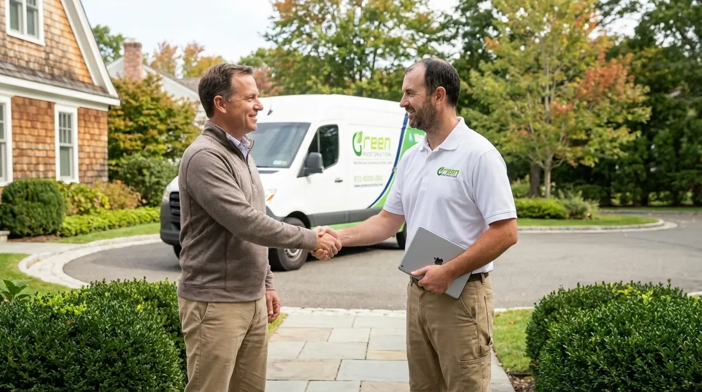
“As the local co-owner across Litchfield County, I bring 15 years in restoration and IICRC AMRT plus WRT certifications to every Goshen flood scope. A Woodridge Lake house taking sheet flow off a failing drainage line is a different file from a farmhouse that froze and broke while the family was away for the winter, and both are different from a beaver release that arrived with no rain at all. What they share here is that nobody can look up a flood zone to settle the argument, so the file has to carry it. Before I talk about drying I want to know when the building was last occupied and where the water entered. Every Goshen job gets my direct oversight, documented to S500 standard, billed to your carrier.”
How Much Does Flood Damage Restoration Cost In Goshen, CT?
Cost tracks the IICRC S500 Category, the affected square footage and the reconstruction behind it. Most Woodridge Lake drainage and headwater runoff claims in Goshen land in the Category 3 band from $8,000 to $50,000 plus, driven by silt removal, porous demolition to the sill plate and the slow drying curve of a stone cavity.
Runoff + Septic Water
$8,000 to $50,000+
Drainage-area runoff, beaver-release water or septic backup, silt removal, porous demolition to the sill plate, well and septic exposure documented
Surface Flooding
$3,500 to $12,000
Hillside runoff and storm ponding into a finished lower level with light silt loading
Clean Supply Water
$1,500 to $4,500
A freeze-break or supply-line failure found the same day, before the water crosses into other assemblies
Final cost depends on the water Category, affected square footage, drying duration, how many days passed before the loss was found, silt loading, porous demolition scope to the sill plate, and whether floodwater reached a wellhead or septic field. Use the calculator above for a personalized Goshen estimate.
Goshen Flood Damage Restoration FAQs
Straight answers on why Goshen has no mapped FEMA zones, which ground floods most, flooding without a river, the two Class C dams, seasonal-home discovery losses, beaver releases, Category 3 protocol, cost and timeline.
Because the map that governs Goshen was drawn on paper and never digitised. Goshen participates in the National Flood Insurance Program as community 090177, its initial Flood Hazard Boundary Map dates to February 21, 1975, and its initial and currently effective Flood Insurance Rate Map both date to November 16, 1990. A bounding-box query against the FEMA National Flood Hazard Layer returns zero flood-hazard-zone polygons over Goshen, and the only two FIRM panels that intersect the town, 0901490075C and 0901490100C, are both recorded as Community Based, Not Printed.
Town staff told the plan authors that inaccurate FEMA flood maps and the lack of flood zone delineation in some areas has proven a significant challenge for residents. Practically, a Goshen homeowner cannot look up a zone the way a homeowner in a mapped town can, and a flood outside a mapped zone is still a flood and still needs the same drying.
The Woodridge Lake drainage area, and the town says so directly. The Goshen annex to the regional hazard mitigation plan records that the drainage area at Woodridge Lake is particularly of concern due to the increased density of development in this area, that the community was developed roughly fifty years ago, that much of the drainage system is beginning to deteriorate and needs repairs, and that road flooding has occurred in this area in recent years.
Beyond Woodridge Lake the plan names two specific spots where heavy precipitation puts water on the road in Goshen: East Street South at the intersection of Reservoir Road, and Bartholomew Hill Road between Sucker Brook and Westside Road. A comprehensive stormwater drainage study of the Woodridge Lake area has been completed and the town continues to address one to two of the recommended projects a year.
Yes, and the town frames it exactly that way. The Goshen annex states that flooding in Goshen is a slightly lesser concern compared to other communities because there are no major rivers flowing through the community, and then adds that isolated flooding still occurs due to inadequate drainage systems and beaver dams.
Goshen sits on a drainage divide rather than on a river: most of the town drains south to the Shepaug by way of the East Branch Shepaug, the Marshepaug, the West Branch Bantam and the Bantam River, the northeastern quarter drains to the Naugatuck basin through Hart Brook and Hall Meadow Brook, and the northwestern corner runs to the Hollenbeck River in Cornwall through Bradford Brook and Ocain Brook. USGS puts the source of the Bantam River inside Goshen at about 1,314 feet. Steep headwater catchments fill and shed fast, so damage here is flash and drainage-driven rather than river-stage-driven.
Two of them are worth knowing about and the town has already written down the downstream exposure. CT DEEP inventoried 22 dams in Goshen, of which exactly two carry hazard class C, the high potential hazard tier, and none carry class B. North Pond Reservoir is upstream of East Street North and the plan states that its failure would threaten roadways and some residential buildings. Woodridge Lake is upstream of Milton Road, numerous residential properties and some farmland, and because the lake is also used for recreation a significant drop in water level could damage boats and recreational structures.
Woodridge Lake Dam is DEEP dam number 5504, hazard class C, status active in use. Tyler Lake Dam is class BB, a moderate hazard. The regional plan estimates the annualized dam-failure loss for Goshen at about 7 dollars a year, the lowest tier in the region, so the exposure is narrow and specific rather than general.
It becomes a longer job, and the town anticipated it in writing. About 23 percent of the Goshen housing stock is held for seasonal, recreational or occasional use, and the annex states that flooding of a residence could go undetected and unreported for several days with no one living there, and that lengthy power outages may leave homes with frozen, broken water pipes and interior flooding in severely cold weather. According to Green Restoration field practice on Litchfield Hills second homes, the deciding variable in these files is not depth but elapsed hours, because a supply line that opened during an outage has been feeding the structure the entire time.
We open the scope with a whole-building moisture map rather than the room the owner walked into, treat the assembly as a delayed loss under IICRC S500, and photograph the meter readings that establish how long the water was running.
Yes, and Goshen lists it as a municipal hazard rather than a curiosity. The annex records that increased flooding as a result of beavers is of growing local concern due to increasing beaver population numbers, that municipal staff describe beaver activity as a persistent issue causing problems with localized flooding especially for private wells, and that the action to pursue beaver flood-control funding remains outstanding due to limited staff capacity.
A beaver release puts water into a building with no rain in the forecast, which is exactly the sudden and accidental event a carrier will want documented carefully, because there is no rainfall record to corroborate the owner account the way there is after a storm. In Goshen the well matters as much as the cellar: most of the town drinks from private wells, so a beaver-driven rise near a wellhead is a potable-water event too.
IICRC S500-2021 section 5.3 classifies water by contamination, not by how it looks. Category 1 is clean supply-line water from a burst pipe or an appliance hookup, and most porous material survives if it is dried inside 24 to 48 hours, which is why a Goshen freeze-break found the same day is often a drying job rather than a demolition one. Category 2 is gray water from a washing machine, dishwasher or toilet bowl without solids, needing antimicrobial pre-treatment and removal of saturated pad and porous insulation.
Category 3 is black water: septic backup, standing surface water, beaver-release water and runoff off the Marshepaug, the Bantam or a failed roadway culvert. Category 3 means full PPE, controlled demolition of porous material to the sill plate, EPA-registered antimicrobial per IICRC S520-2024, and post-treatment verification. Water that has crossed forest floor or farm field arrives loaded with soil bacteria no matter how clear it runs, and about 73 percent of Goshen is forest.
Our response across Goshen is 60 minutes, 24 hours a day, covering Goshen Center, West Goshen, North Goshen, Woodridge Lake, Tyler Lake, Tyler Lake Heights, the Route 4 and Route 63 corridors and the East Street corridor. Trucks leave loaded with Hydramaster CDS-4.8 extraction, submersible pumps rated for solids, Phoenix Axial movers, LGR dehumidifiers, Tyvek and N95 PPE, and EPA-registered antimicrobial.
Goshen maintains 68 miles of local road, has no local public transit and no designated evacuation routes because of its rural nature, so during an active event the honest measure is not how fast a van appears in the driveway but how fast the property stops getting worse, and that starts on the phone. Call (860) 222-9498 at any hour.
NFIP requires a signed Proof of Loss with your Write-Your-Own carrier within 60 days of the date of loss, and federal courts enforce that window strictly. Goshen has been in the Regular Program since November 16, 1990 as community 090177, with 21 flood insurance policies in force as of June 30, 2019 carrying $7,089,000 of insurance value, so the coverage base in town is small and every file is visible. Green Restoration builds the packet from day one: timestamped photo logs, daily IICRC S500 moisture readings, high-water-mark photography, a written source finding that separates surface water from plumbing water, and a complete itemized scope formatted for direct adjuster submission.
We are not licensed public adjusters and do not negotiate claims on your behalf, so the packet has to carry the argument on the facts.
Cost tracks the water Category, the affected square footage, how long drying runs and how much reconstruction follows. Surface water off a hillside, a driveway or a failing drainage line into a finished lower level generally runs 3,500 to 12,000 dollars for extraction, antimicrobial treatment and structural drying. Category 3 runoff, septic backup or beaver-release water into an older Goshen house over a rubble or fieldstone cellar runs 8,000 to 50,000 dollars and up, driven by porous demolition to the sill plate, full PPE crew hours, silt removal, verification sampling and the slow drying curve of a stone cavity.
A seasonal house discovered days after the fact sits at the higher end for the same footprint, because elapsed time and not depth is what sets the demolition line.

